
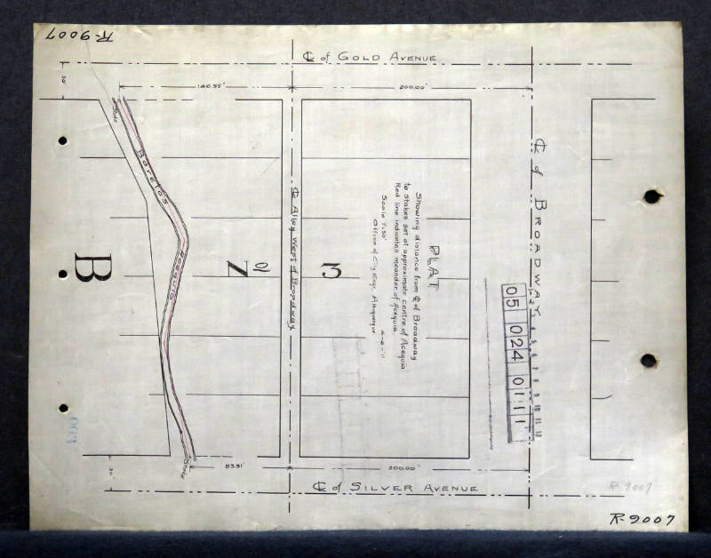
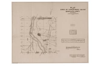
Plat Map Showing Broadway and Acequia
Manufacturer / MakerCreated by
City of Albuquerque - Office Of City Engineer
Dateca. 1920
Mediumink on paper
Dimensions8 1/2 × 11 in. (21.6 × 27.9 cm)
ClassificationsDocumentary Artifact
Credit LineAlbuquerque Museum, transfer from the City of Albuquerque Engineer's Office
Object numberPC2017.47.3
DescriptionThis black and white engineer's drawing is a map of the plot of land between Broadway Avenue, Gold Avenue, and Silver Avenue. A curved line indicates a water source named Barelas Acequia is on the side labeled with a large letter 'B.' In the center between 'No.' and '3,' is an alley west of Broadway. Each building is rectangular and the acequia winds diagonally meaning the houses on the right side vary in size. The word and number markings are in black but there is a handwritten description in the center of the plat map and a pencil marking in the lower right.On View
Not on view

City of Albuquerque - Office Of City Engineer
June 27th, 1912

City of Albuquerque - Office Of City Engineer
1916
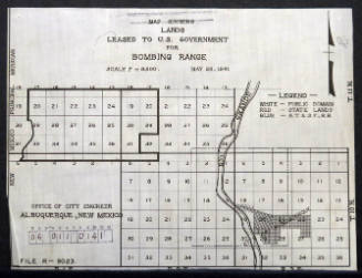
City of Albuquerque - Office Of City Engineer
May 28th, 1941


City of Albuquerque - Office Of City Engineer
1944
City of Albuquerque - Office Of City Engineer
1912


United States Government Printing Office
1883
